Journey Route
The route Chaihuo MCV has driven across China.
- —
- days on the road
- 26905+
- km
- 57/59
- cities
- 151
- journals
- 5,130
- peak (m)
Journey Route
The route Chaihuo MCV has driven across China.
- —
- days on the road
- 26905+
- km
- 57/59
- cities
- 151
- journals
- 5,130
- peak (m)
Story river · by date
151 journals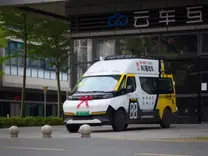
深圳启程
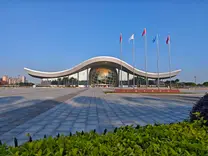
深圳-广东科学中心 → 阳江
阳江科学馆

阳江-玉林
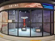
广西玉林科技馆
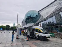
广西科技馆
Liuzhou · Sandu: Talking AI Detection with New Farmers
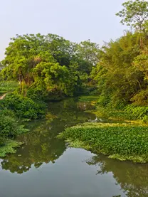
广西柳州柳江-七百弄

七百弄-浩坤湖

浩坤湖-格凸河

格凸河-贵阳
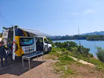
贵阳 - 韦伯空间
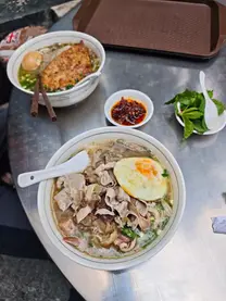
贵阳八中-民生路小吃街
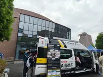
贵州师院 - 贵州大学 - 赫章
贵州赫章 - 四川宜宾
四川宜宾 - 成都
成都二中科技节 · 外曹家巷火锅
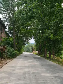
绵阳骆驼房车升级基地车
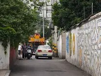
成都柴火空间 · 电子科大 · 天桥下的夜市
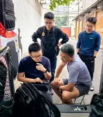
成都七中英才学校 · 西南交大 Fab Lab
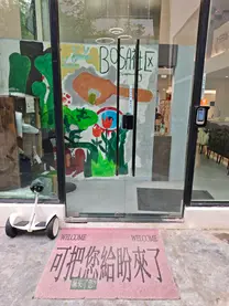
成都 BOSA 播撒社区 · 星球学院
成都社区走访:搭伙儿、C-SCHOOL 与麓湖社群之家
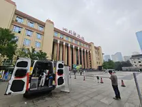
四川科技馆
成都-江油-老河沟驿站-清溪镇-唐家河-成都
成都-绵阳-成都
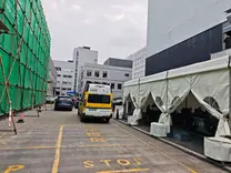
基地车首保 · 成都柴火 · Yuan 的第一顿酒

成都-雅安 · EP 带我们回老家
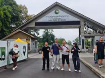
雅安 · 偶遇王老师 · 看熊猫 · 装抽屉 · 喝断片
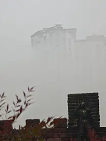
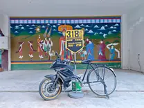
雅安中学 · 318 启程 · 塔公的日照金山
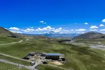
多吉家 · 给牦牛绑定位 · 撤到雅江

雅江 - 理塘 - 姊妹湖 - 巴塘
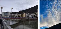
巴塘 - 入藏 - 芒康 - 如美 - 东达山垭口 - 左贡
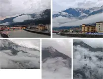
左贡 - 邦达镇 - 怒江 72 道拐 - 然乌湖 - 波密县
波密县 - 鲁朗镇 - 林芝市 - 拉萨市

拉萨布达拉宫背景的采访 - 拉萨市科技众创空间
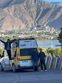
拉萨网红 S 弯-洗车-布达拉宫背景会议-和胡老师拜访拉萨第二职业技术学校-EP 告别拉萨晚宴
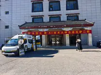
出摊拉萨第二职业技术学校-吃瓜看晚霞
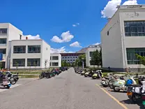
拜访西藏大学-出摊拉萨师范学院
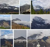
风光局-清晨很仙的拉萨-羊湖-普莫雍错
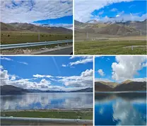
告别羊湖 - 拉萨 - 送走基地车
青藏铁路 · 哈密快闪 · 格尔木取车

格尔木-茫崖-若羌-库尔勒-阿克苏

阿克苏老秦果园

阿克苏职业技术学院 · 老街夜市

天山托木尔景区 · 告别张俊 · 夜奔库车

库车王府-库尔勒泓润源水利水电勘察设计院-乌鲁木齐白杨沟

端午风光局:乌鲁木齐白杨沟 - S101 -石河子

石河子柴伙儿

石河子:科技馆 · 图书馆工作坊 · 社区推介会

石大水利建筑工程学院“校友大讲堂” · 农学系工作坊 · 同学聚会

石大智慧水利交流 · 柴伙儿培训 · 军垦博物馆 · 转场克拉玛依

克拉玛依科创中心出摊 · 教师工作坊 · 大油泡与克拉玛依之歌
百里油区 · 魔鬼城 · 乌尔禾中学 · 艾里克湖
克拉玛依-奎屯-阜康 · 天池拜山博格达 · 到乌鲁木齐
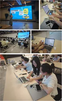
溢达创研村 · 跨域拾柴,燃在新疆
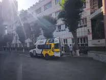
乌鲁木齐修整 · 八十小参访 · 巴里坤湖落日 · 到哈密
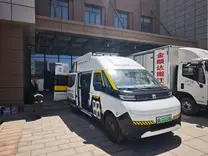
出摊哈密铁道职业技术大学 · 二代目会师 · 天山村落日
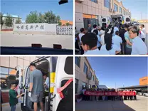
出摊哈密高新产投园 · 哈密驰骋科技
东天山一日游
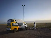
伊吾 · 淖毛湖快闪 · 幻彩湖 · 哈密交接棒

伊吾→哈密:一场关于“移交”的山野大扫除
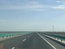
哈密→敦煌:人在囧途,电车版“生死时速”

敦煌:当 Tracker 听见鸣沙山的呼吸
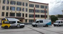
敦煌校园行:双车CP进敦煌,喜逢夏日“限定款”甘露
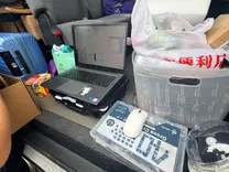
玉门二中:第一次vibe coding,把代码“捏”进硬件里
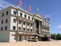
酒泉·大禹节水:把“黑科技”种进每一米滴灌带里
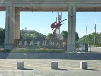
酒泉职大:第二程首场大学生工作坊,看见AI+职教的“加速度”

肃南皇城:雨中夏牧场,一场关于“归来”与“20分钟生死线”的对话
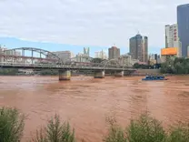
兰州:黄河红水边,偶遇六年的“网友”与他的木作星球
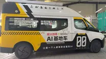
兰州:保养硬实力,切磋软功夫
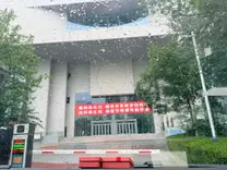
兰州:九年后再重逢,在省科技馆为梦幻联动画圆
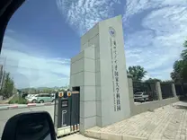
兰州理工:硬核毕业生的反向输出与理工学霸的极速造物
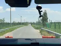
吴忠南川二村:从闰土的瓜田,走到苑大哥的压砂地做吃瓜群众
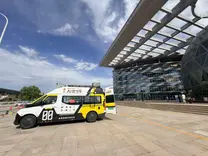
银川:铁粉截胡与自上而下的科普新范式

定边:从“一眼万年”到“大地调色盘”,在盐湖边给今天盖个章
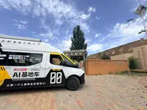
定边:窑洞里的“时光折叠”与彩色土豆的“花青素革命”
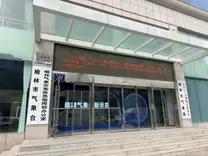
榆林:在50℃的闷棚里,写下气象数据的最后一公里
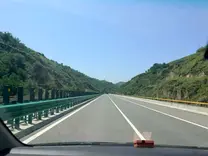
榆林→西安:千里奔袭,坏掉的充电桩挡不住围观的热情

西安:新老交替,古都蓄力
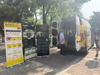
西安:从老馆新颜到双一流碰撞,首场直播与跨城粉丝的双重惊喜
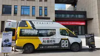
西安培华学院:从奔赴深圳到迎接进站,一场跨越十年的双向奔赴
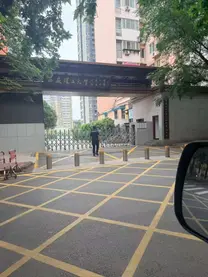
西安理工:在77载工科沃土里,种下具身智能的种子
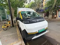
西安收官:新老技术担当钟楼下交接,欧亚学院邂逅“设计+造物”
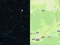
西安→隰县:穿越第十个省,在“天命人”的故乡唤醒“皮皮虾”
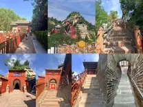
隰县→临汾:穿越169㎡的极乐世界,赴一场11年的开源之约
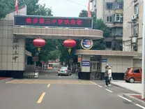
临汾:在学霸的仰望与老友的奔赴中,看见技术的温度
双车并进北上路,硅基皮皮虾首瞰大山河
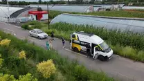
太原:当创客精神遇见农业4.0,在盐碱地上种出“水果玉米”
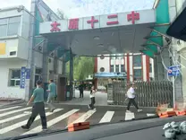
太原十二中|35个席位的秒空,与一场关于“好问”的对话
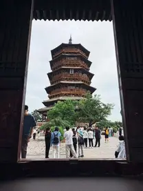
晋蒙交界:木塔的榫卯与皮皮虾观景

呼和浩特:从“深圳牛马”到“内蒙头羊”,在卓因科技验证AI的边界
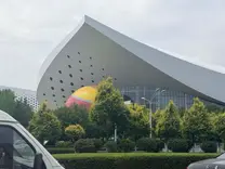
呼和浩特:当“科普大篷车”遇上“AI基地车”,在科技馆遇见未来

北京:跨越“第十三省”的界线,五分钟丝滑通关康庄检查站
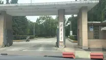
北京:在清华园的“多元碰撞”,于iCenter重逢十三年创新梦
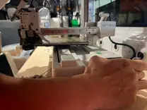
北京:修补制造之指,在OPC社区寻找软硬共生的积木
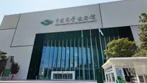
中国科学技术馆:民间微光汇入国家星河,在中科馆探寻未来科普的答案
京赤高速:从中科馆的回响到乌兰布统的风,在车轮上丈量科普的半径
赤峰:在科芯大棚验证AI农业,于达达线邂逅暴雨后的粉色落日
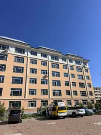
赤峰→长春:取经路上的“电瓶劫”与22222公里的浪漫
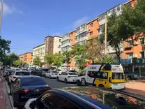
长春→哈尔滨:穿越雾锁吉林,在北大荒见证"看天种地向看屏种地"的蜕变
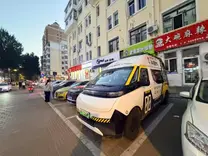
哈尔滨·红专街:在早市的烟火里休整,在Citywalk中"混入"冰城
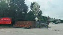
哈尔滨:在黑龙江省科技馆,看见"未来已来"的模样

长春:从土地里生长出的思考

48天·8000公里·9省:答案在路上

长春:从大屏里的数据,到鹿角上的茸

长春,让创意从车上走下来

沈阳:在沈阳,读懂一座城

沈阳:把喜欢,做成作品

秦皇岛:如果要走,请你远走

天津:津门首站,科技与艺术在此相遇

天津:在百年街区,遇见另一束光

天津:看虾打架,也是技术活儿

天津:从老碱厂的烟囱,到孩子手里的开发板

天津:在中新生态城,遇见"创新高速公路"

天津:动漫园里,基地车驶入"新赛道"

天津:休息日——和伙伴们装虾

天津到山东:辞燕赴夷 怀古行路

济南:从升旗仪式,到深夜课堂

威海赶路日:末日飞船

威海:从苹果园到农业数字化的基础建设

威海-荣成:观日出

河南兰考:追着黄河走,遗憾也是风景

河南:在兰考看数字农业落地,于开封共探 AI 科创合作机遇

开封:为一双双好奇的眼睛铺路

开封:不止看见科技,更收获创造的底气

郑州:扎实深耕的校内众创

郑州:赴老友之约

洛阳:河南的最后一站

洛阳-合肥:车行淝水,心向闲山

合肥:人在囧途

合肥:对接真实产业需求,解锁创新应用场景(上)

合肥:对接真实产业需求,解锁创新应用场景(中)
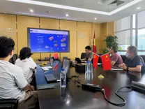
合肥-杭州:对接真实产业需求,解锁创新应用场景(下)
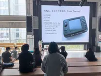
杭州:从复古重新理解创客精神
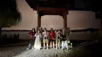
杭州:从西湖蓝调到深夜酒馆
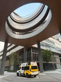
杭州:走进 DN 杭创营,与本地 Builder 社群碰撞交流

杭州-南京:备战四天黑客松
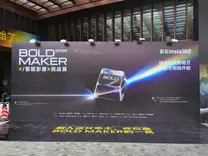
南京:黑客松Day1
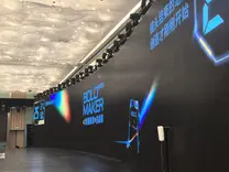
南京:黑客松Day2
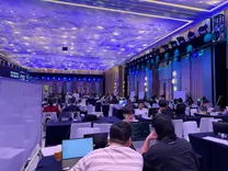
南京:黑客松Day3
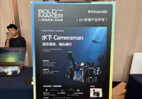
南京:Bold Maker 黑客松收官日记

上海:体验非典型中秋节
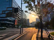
上海:在有限中看见万千世界
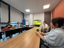
上海:第三段行程收官
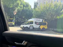
上海:从虹桥到外滩,第四程在Formshop把"皮皮虾"带看东方明珠
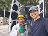
上海五站连轴,从Formshop把车开进闵行、纽大、上科大附校、蘑菇云

上海:在同济Fab O,从机械臂到九合一工具箱
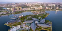
上海收官:从五维数智港到科技馆明日科创营,奔赴苏州